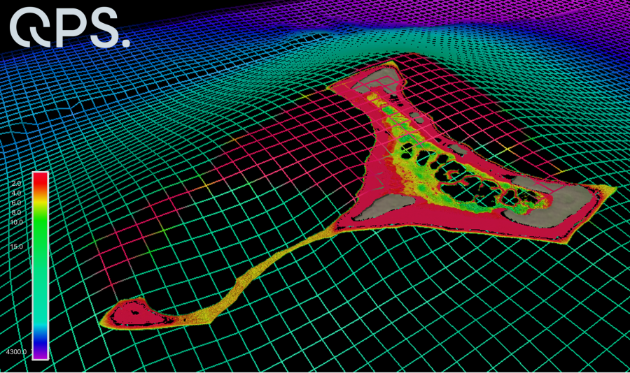
NIWA scientists and Toitū Te Whenua Land Information New Zealand (LINZ) have used satellite technology to chart the Cook Islands’ seafloor in never-before-seen detail. The work was done as part of Seabed 2030 - a collaborative project to produce a definitive map of the world ocean floor by 2030.
Links